
Agras T70P for Low-Light Forest Monitoring
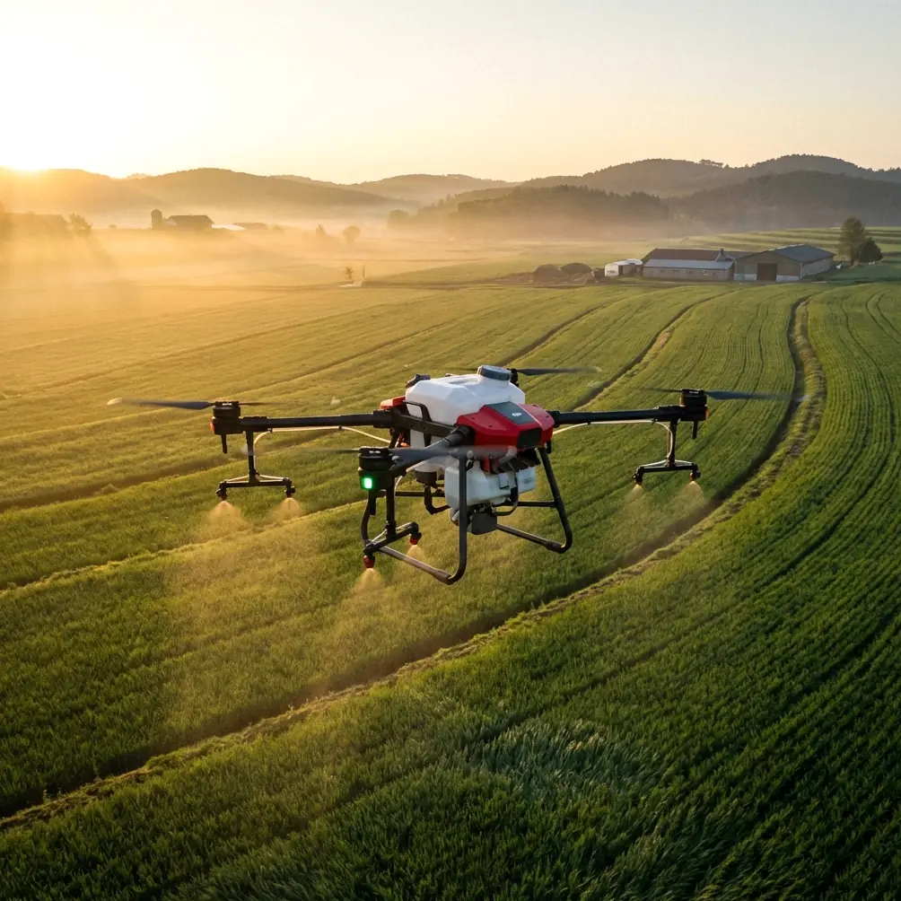
Agras T70P for Low-Light Forest Monitoring: A Practical Field Tutorial
META: A field-focused tutorial on using the Agras T70P for low-light forest monitoring, covering airflow behavior, weather data, focus-stacked imaging, RTK workflow, and accessory choices that improve usable results.
Forest monitoring at dusk or under canopy is where drone specifications stop being marketing material and start becoming operational constraints.
The Agras T70P is usually discussed in the language of spraying, throughput, and broad-acre efficiency. That misses a useful angle. In low-light forest work, especially when the goal is observation rather than treatment, the platform becomes a sensor carrier operating inside a messy aerodynamic and meteorological environment. Branches disrupt airflow. Moisture hangs in the understory. Contrast is poor. GPS quality can shift at the edge of canopy. If you want usable data, you need to think less like a pilot chasing a flight and more like a field systems designer.
This tutorial lays out a practical way to approach low-light forest monitoring with the Agras T70P, grounded in two ideas from the reference material that matter more than they may first appear: first, air does not move in straight lines around obstacles, and second, weather support is not just a forecast but a chain of collection, transmission, and analysis tools.
Start with the mission, not the aircraft
For forest monitoring in low light, define the job before touching settings:
- Are you documenting disease spread along a tree line?
- Checking storm damage in shaded access corridors?
- Looking for moisture stress patterns near drainage zones?
- Verifying spray drift boundaries after a treatment window?
The Agras T70P can support these tasks when flown deliberately, but low light changes what “good enough” looks like. A clean daytime pass may tolerate weaker contrast and some motion blur. Under twilight, fog, or dense canopy shadow, small errors stack fast. A soft edge around a diseased crown or a slight position shift can make comparative monitoring unreliable.
That is why centimeter precision and RTK fix stability matter here. A high RTK Fix rate is not just a nice-to-have for map neatness. In repeat forest monitoring, it is what allows you to compare the same corridor, gap, or stand margin over time without guessing whether change came from vegetation or from flight inconsistency.
Why airflow around trees matters more than most operators admit
One of the most useful reference points in the source material comes from a simple physics demonstration: when air is blown toward a cylindrical glass, the stream can follow the curved outer wall and reach a candle hidden behind it. The explanation is the Coandă effect. Because of air viscosity, the moving airflow drags nearby air, creates a low-pressure region near the surface, and the flow bends along that surface rather than detaching immediately.
That sounds academic until you put an Agras T70P near irregular forest edges.
In practical terms, air pushed by rotors can cling, curl, and recirculate around trunks, dense hedgerows, embankments, and even the convex shape of clustered crowns. In low-light monitoring, this matters in two ways.
1. It affects image stability and sensor clarity
If you are carrying an optical payload or a third-party accessory such as a compact low-light spotlight or auxiliary imaging module, disturbed air around obstacles can create subtle platform instability exactly where you need the cleanest capture. Operators often blame low light alone when images come back smeared or inconsistent. Sometimes the problem is airflow attaching to nearby surfaces and bending unpredictably around forest structure.
A straight-line pass beside a rounded tree line is rarely aerodynamically straight.
2. It affects spray drift interpretation if the mission overlaps treatment monitoring
Even if the flight is only observational, many users deploy the T70P to verify outcomes around spraying operations. Here the same airflow principle becomes critical. Drift does not simply move away from the aircraft in a tidy plume. Near trunks, poles, rock faces, or shelterbelts, the air can wrap and redirect. That means your monitoring pass should pay close attention to downwind forest margins and leeward pockets, especially where the terrain creates sheltered low-pressure behavior.
This is also why nozzle calibration remains relevant even on a monitoring-focused workflow. If you are comparing visual plant response against prior application patterns, poor calibration can masquerade as a forest health issue. An uneven droplet profile may produce patchy stress signatures that look like environmental variability. Before blaming canopy condition, verify the delivery system that preceded the monitoring flight.
Use weather infrastructure like a data pipeline, not a forecast widget
Another reference source defines meteorological facilities as a full set of systems for weather data collection, transmission, and analysis. It specifically lists equipment such as meteorological satellites, weather radar, lidar, wind profilers, microwave radiometers, and computing support.
That description is worth bringing into Agras T70P planning because low-light forest monitoring is often scheduled at the margins of the day, when local conditions diverge from broad regional forecasts.
A generic weather app is not enough.
If your route runs through forest edges, ravines, or humid valley transitions, the useful question is not “Will it rain?” The better questions are:
- What is the low-level wind profile near the tree line?
- Is there residual moisture or mist forming in shaded sections?
- Are there signs of temperature inversion that could trap fine droplets or haze?
- Does radar or local remote sensing suggest incoming micro-scale instability?
Modern weather support matters because forest monitoring in low light is often defeated by atmospheric texture, not by obvious bad weather. A light moisture layer or subtle low-altitude shift can degrade visibility, alter hover behavior, and distort any attempt to assess drift patterns.
For repeatable results, build a preflight weather stack:
- Regional forecast for timing.
- Radar and satellite overview for movement.
- Localized wind assessment where possible.
- Site observation at canopy edge and understory access point.
- A go/no-go threshold tied to image clarity and positional repeatability, not just safety minimums.
That workflow reflects the source material’s bigger point: meteorological systems are valuable because they integrate collection, transfer, and analysis into a complete picture. Forest drone work benefits from the same mindset.
A field setup that actually works in low light
Here is a practical sequence I use when adapting an Agras T70P for monitoring conditions under dim light.
Step 1: Lock down positioning quality early
Before entering the forest edge, confirm RTK behavior in a relatively open area. If the RTK Fix rate is inconsistent before you begin, it rarely improves once you push closer to obstructed canopy. Wait, reposition, or adjust the mission design. In this kind of work, a “mostly fixed” solution is often worse than postponing the sortie because it creates false confidence in alignment.
Centimeter precision is most useful when comparing the same swath width across multiple passes and dates. If you cannot trust that geometry, your forest trend analysis becomes anecdotal.
Step 2: Reduce assumptions about swath width
The term swath width is often treated as a fixed planning value. In forest-edge monitoring, it should be treated as conditional. Shadow, canopy height variation, terrain breaks, and side airflow can all reduce the effective width of reliable observation.
In other words, the mission planner may say one number. The data may reward a narrower one.
If your task is documenting crown stress or under-canopy edge health, it is usually smarter to fly a conservative lane structure with more overlap than to chase maximum area per battery cycle. Low light punishes optimistic spacing.
Step 3: Add a useful third-party accessory
The single most practical enhancement I have seen for this scenario is a third-party high-CRI auxiliary lighting module mounted for downward and forward scene definition. Not a brute-force floodlight intended to wash out the scene, but a balanced light source that helps the camera separate trunk texture, ground hazards, and canopy edges without flattening everything into glare.
The benefit is not only visibility to the operator. It improves data consistency by giving imaging systems enough structure to resolve details in shadow transitions.
If you are evaluating accessory options for the T70P and want a field-oriented recommendation path, you can message a specialist here: ask about compatible low-light setups.
Choose a unit with careful mounting and power management. Added payload changes handling, and in close forest work every shift in balance shows up.
Step 4: Think about IPX6K as operational resilience, not permission
Many operators see an ingress rating like IPX6K and interpret it as freedom to work through wet conditions. That is the wrong mindset. In forest monitoring, that rating is best understood as a resilience margin when moving through mist, residual spray environment, or damp vegetation zones. It helps the aircraft tolerate demanding field conditions, but it does not remove the optical penalties of water droplets, lens contamination, or reduced contrast.
Protected airframe, compromised data. That trade still matters.
A surprisingly useful imaging trick from ground photography
One of the reference articles describes a low-angle landscape technique where the foreground and distant mountains are both kept sharp by taking multiple images focused at different distances while the camera remains completely fixed. The images are then loaded into Adobe Photoshop as a stack, aligned automatically, and combined into a single deep-depth-of-field result.
That is a ground photography method, but the logic transfers neatly to forest documentation.
When the T70P is used to monitor a static area from a stable hover or fixed position near the forest edge, you can adapt a similar capture concept for detailed visual reporting. If your payload allows controlled focus changes, capture two or more images focused at different distances without changing the aircraft’s position. Then align and merge them in post-processing. The source method specifically stresses that the camera position must not move during capture, and that is exactly why stable hover and solid positioning matter.
Operationally, this helps in low light because wide-open optics often force a shallower depth of field. In a single frame, you may have a sharp foreground branch and a soft background crown line, or the reverse. A focus-stacked composite can preserve detail from near vegetation, stones, or trail markers all the way to the deeper stand behind them.
That can be especially useful when:
- documenting disease spread from ground flora into lower branches,
- comparing erosion and root exposure near the forest floor,
- building training material for crews who need one clear frame instead of a dozen partial examples.
The technique is not for every flight. It is for specific documentation moments where one high-value image is worth more than a broad but mediocre pass.
What to watch during the flight
Low-light forest monitoring with the Agras T70P becomes much cleaner when you actively monitor four things:
Air behavior near obstacles
Remember the curved-surface airflow example from the glass and candle experiment. Rounded canopy edges and trunks can redirect downwash and ambient flow in ways that do not match your line on the map.
Contrast loss before visibility loss
Pilots often wait until the scene looks obviously dark. The more telling sign is earlier: bark texture merges, wet ground reflects unevenly, and crown boundaries stop separating cleanly.
Drift clues in sheltered zones
If you are evaluating treatment effects or edge exposure, look not only where wind should carry material, but where low-pressure recirculation pockets may have trapped or redirected it.
Repeatability over area
A smaller mission with dependable geometry beats a larger one with questionable alignment. For long-term monitoring, repeatability is the asset.
Final field advice
The Agras T70P can be genuinely useful for low-light forest monitoring, but only if you respect the physical environment around it. Forests shape air. Weather data needs to be interpreted, not glanced at. Position accuracy is not decorative. And imaging quality in dim conditions often comes from process discipline rather than sensor hype.
Two details from the references stand out because they change field decisions. First, airflow can follow a curved surface due to low-pressure attachment effects, which means vegetation and terrain can bend and trap rotor-influenced air in ways that affect both drift interpretation and image stability. Second, modern meteorological support is a system that combines data collection, transmission, and analysis using tools like radar, satellite platforms, lidar, and wind profilers. For T70P operators, that means better planning at the microclimate level, especially near canopy and at dusk.
Add a well-chosen lighting accessory, keep nozzle calibration honest if your monitoring links back to treatment work, and resist the temptation to overextend swath width in poor light. That is how you get usable forest data instead of just a completed flight log.
Ready for your own Agras T70P? Contact our team for expert consultation.