
Agras T70P for Mountain Solar Farms: What Actually Matters
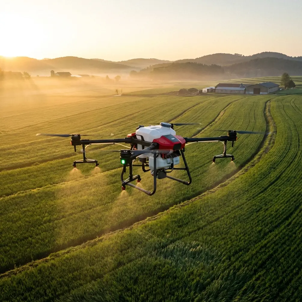
Agras T70P for Mountain Solar Farms: What Actually Matters in the Field
META: A field-focused look at how the Agras T70P fits mountain solar farm work, from flight discipline and imaging habits to battery management, repeatability, and training priorities.
Mountain solar farms expose every weakness in a drone operation.
Terrain folds in on itself. Access roads are narrow. Wind behaves differently from one ridge to the next. Visual line planning gets harder the moment the site steps down in terraces. If you are evaluating the Agras T70P for this environment, the real question is not whether the aircraft is “powerful.” That word is too vague to be useful. The better question is whether your operation can make the aircraft repeatable, efficient, and safe under mountain-site pressure.
That is where most teams either gain productivity fast or spend months blaming hardware for process problems.
I have seen this pattern before in drone programs that move from flat agricultural land into elevated industrial sites. The aircraft gets all the attention, while the basics get neglected: route structure, visual discipline, task sequencing, battery rotation, and operator training. The result is familiar. Coverage becomes uneven. Turnaround slows down. Data quality is inconsistent. Teams start talking about signal conditions or payload settings when the root cause is usually more ordinary.
One reference point worth borrowing comes from a photography article that makes a surprisingly relevant argument: weak image results are often not caused by equipment at all, but by fundamentals such as composition, lighting, and focus. For mountain solar work with a T70P, that same logic applies operationally. Poor outcomes often begin with preventable field habits, not with a missing feature on the drone.
The mountain solar problem no one should underestimate
Solar farms in mountainous areas are not just large open spaces with panels. They are fragmented work zones. A single site may include steep service tracks, retaining structures, drainage channels, fence lines, inverter stations, and rows of panels laid out at angles that change the way a pilot perceives spacing from the air.
That matters whether the T70P is being used for site support, vegetation management planning, logistics coordination, visual inspection passes, or work documentation around remote arrays. Mountain settings amplify three recurring issues:
- depth perception errors when flying over tiered rows
- inconsistent route spacing caused by changing terrain geometry
- reduced operational tempo because batteries, vehicles, and crews are moving farther than expected between launch points
This is where terms like centimeter precision and RTK fix rate stop being brochure language. On a mountain site, repeatability is not just about accuracy on a map. It is about returning to the same corridor, the same edge condition, or the same service lane without building cumulative error into the day’s workflow. If the aircraft holds a stable RTK solution and your team respects route discipline, you reduce the small alignment mistakes that become expensive after multiple sorties.
Why visual discipline still matters, even on a highly capable platform
People often talk about industrial drone operations as if manual visual judgment has become secondary. It has not.
One of the most useful field habits comes directly from that composition reference: stop centering everything by instinct. The original tip recommends turning on a grid and placing the subject near an intersection rather than forcing it into the middle of the frame every time. For mountain solar documentation, this is operationally significant. When an operator always centers the obvious subject, they often miss context at the edges: panel row encroachment, washout near a service road, a cable path entering the frame, or debris at a perimeter channel.
The article also recommends scanning the four corners of the frame before taking the shot to remove irrelevant clutter. That sounds simple, but on solar sites it is one of the fastest ways to improve field records. Before you capture a fault image, a progress photo, or an overview for maintenance planning, check the edges. Is there a shadow cutting across the panel string? Is a nearby fence post distorting scale? Is an unrelated vehicle entering the frame and confusing later review? Better image hygiene leads to cleaner reporting and fewer repeat visits.
Another detail from the same source is the use of leading lines such as roads, railings, or gaps through foliage to direct attention to the subject. On mountain solar farms, the equivalent visual lines are access tracks, panel row geometry, drainage cuts, and fencing. A skilled T70P operator can use those lines not just for attractive imagery, but for readable technical records. A maintenance supervisor reviewing dozens of files should understand the location relationship immediately. Good framing shortens decision time.
And the note about shifting your shooting position to create a more open, breathable composition is not an artistic luxury. It is practical. On stepped terrain, a small change in aircraft position can reveal whether a problem is isolated to a single row or extends into the next terrace. If you stay fixed in the first obvious hover point, you can hide the very context the site team needs.
The best T70P operators think like trainers, not just pilots
A second reference, from a flight training text, gives a lesson that fits the T70P surprisingly well: separate the essentials required to complete a task from the refinements that can wait until later.
That sounds basic, but many mountain-site drone teams get this backward. They chase perfect mission polish too early. They debate the ideal camera behavior, the ideal swath width for every scenario, the perfect handoff between pilot and observer, the perfect naming convention for files. Meanwhile, they have not standardized the things that actually determine whether the operation works.
The training document argues that learning accelerates when foundational actions become procedural and automatic. That is exactly how a T70P team should be built for mountain solar work.
Start with the first-stage essentials:
- launch and recovery discipline on uneven ground
- route spacing and terrain-aware line selection
- consistent battery rotation and thermal awareness
- confirmation of RTK lock before critical repeatable passes
- clean communication between pilot and visual observer
- predictable image capture habits for site records
Only after these become automatic should the team spend serious time polishing advanced refinements such as highly optimized swath width by micro-zone, elaborate visual storytelling for reporting, or custom workflow variations between array sections.
The value of this staged approach is operational, not academic. The source text makes the point that once more actions become automated, the pilot has more mental bandwidth to refine performance. On a mountain solar farm, that means the crew is less likely to make preventable mistakes when wind shifts, access changes, or the site manager requests a priority task halfway through the day.
Battery management: the field habit that saves more time than people expect
Here is the battery management tip I give teams working remote hill and mountain sites with larger UAV platforms such as the T70P: never let the battery plan follow the mission. Make the mission follow the battery plan.
That sounds backward until you have spent enough time in real field conditions.
On mountain solar farms, battery inefficiency is rarely caused by the battery itself. It is caused by poor sortie design. Crews launch into a task that should have been split into shorter blocks. They push farther downhill because the visual target is “just one more row away.” Then the return leg climbs, wind exposure changes, and the reserve margin gets tighter than planned. Even when the aircraft comes back safely, you have introduced stress, heat, and schedule instability into the day.
My rule is simple: build each segment around the hardest return, not the easiest outbound leg.
If a route descends away from the launch point, assume the battery cost of coming back will be worse than it looks. In hot weather, I also prefer a shaded battery staging setup whenever the site allows it. Keep packs out of direct sun, log pack order, and resist the temptation to put the warmest battery back into service just because it is available first. Fast decisions in the field often become expensive habits.
For mountain projects with multiple launch points, assign batteries to zones rather than treating every pack as part of one common pool. That reduces handling confusion and makes it easier to spot a pack that is underperforming in a specific terrain pattern. If one zone consistently consumes more energy because of climb profiles or crosswind exposure, your logs will show it much sooner.
What the competition reference teaches about real-world workflow
At first glance, an educational drone competition manual seems unrelated to the Agras T70P. It is not.
One extract describes a timed mission with a strict 7-minute cap, where the aircraft must complete staged tasks, use LED status cues, and even display an identified card ID for at least 1 second to count as complete. Another detail says that if the program loses control, the team may restart, but the timer keeps running and previously earned phase points are cleared.
That structure mirrors a truth of commercial drone operations: incomplete tasks, unclear status signaling, and poorly managed resets are expensive.
For a mountain solar workflow, the lesson is straightforward. Build visible phase gates into the operation. The aircraft may be capable, but the crew still needs unmistakable confirmation points:
- pre-flight complete
- RTK fixed
- payload configuration confirmed
- mission segment completed
- imagery verified
- battery state logged
- next launch point cleared
The competition document uses specific cues like red flashes at 1Hz three times and blue constant light to indicate stage completion. You do not need to copy that exact method, but you do need the same philosophy. Clear phase transitions reduce ambiguity. Ambiguity is where repeated flights, missed documentation, and wasted labor begin.
The same source also places value on completing the task before polishing it. In a commercial solar environment, that means getting the required coverage and records in a consistent way before chasing “perfect” media outputs. If the maintenance team needs actionable visibility, consistency beats occasional brilliance.
Spray drift, nozzle calibration, and why context matters for the T70P
The Agras line naturally prompts questions around spray drift and nozzle calibration. On mountain solar projects, those topics only matter if the mission actually involves approved vegetation-management or adjacent land-care work under proper civilian operating procedures. If that is your use case, terrain changes make drift behavior and application consistency harder to predict, which puts more pressure on calibration discipline and route planning.
But here is the larger point: mountain sites punish assumptions.
A nozzle setup or swath width that behaves acceptably on flatter ground may not behave the same way when wind shears over a slope or when the aircraft transitions across terraced levels. The T70P may provide the platform capability, but your crew still needs terrain-specific validation. That means checking output behavior, confirming overlap logic, and documenting what happens in different site zones rather than assuming one setting scales across the whole property.
In other words, precision is not a menu option. It is a verification culture.
Imaging, documentation, and solar-site credibility
If your T70P program supports inspection or work documentation, image quality should be treated as part of operational credibility, not as a side task. This is where the photography reference becomes unusually useful.
Its core advice can be translated directly into industrial practice:
- Use grid discipline instead of intuitive framing.
- Move the aircraft slightly when the scene feels cramped.
- Use natural lines in the site layout to guide attention.
- Check the corners before capture.
These are small habits. They are also exactly the kind of habits that separate a drone team that merely flies from one that produces dependable records other departments can trust.
If your team needs help adapting those habits into a mountain-site standard operating procedure, a practical way to discuss route logic and field setup is through this direct project chat: message Marcus about your T70P site workflow.
The bigger takeaway for Agras T70P buyers and operators
The Agras T70P can be a strong fit for mountain solar farm operations, but only if you evaluate it in the context that actually determines results.
Not “Does it have enough capability?” Most likely, yes.
Ask instead:
- Can our team maintain repeatability on stepped terrain?
- Do we understand how route geometry changes battery consumption?
- Are we verifying RTK fix quality before precision-dependent passes?
- Have we standardized image capture so the maintenance team can act on it?
- Are operators trained in stages, with fundamentals becoming automatic first?
That last point is the one people skip. The training source is right: when basics become procedural, crews free up attention for the refinements that actually improve outcomes. And the photography source is right too: weak results are often not the equipment’s fault.
For mountain solar farms, that combination of ideas is more valuable than any feature checklist. The T70P becomes more useful as your operation becomes more disciplined. Better framing. Better task staging. Better battery logic. Better confirmation points. Better repeatability.
That is how a drone stops being a promising tool and starts becoming a reliable part of the site workflow.
Ready for your own Agras T70P? Contact our team for expert consultation.